Photo: gibraltarinfo.gi (Used with permission)
The Old Town on foot
From the barrack square where the last man was hanged to the gate that was the only way in for three centuries. A mile on foot, no ticket, and the town itself is the exhibit.
The route, stop by stop
What each stop is, why it matters, and how long to the next one.
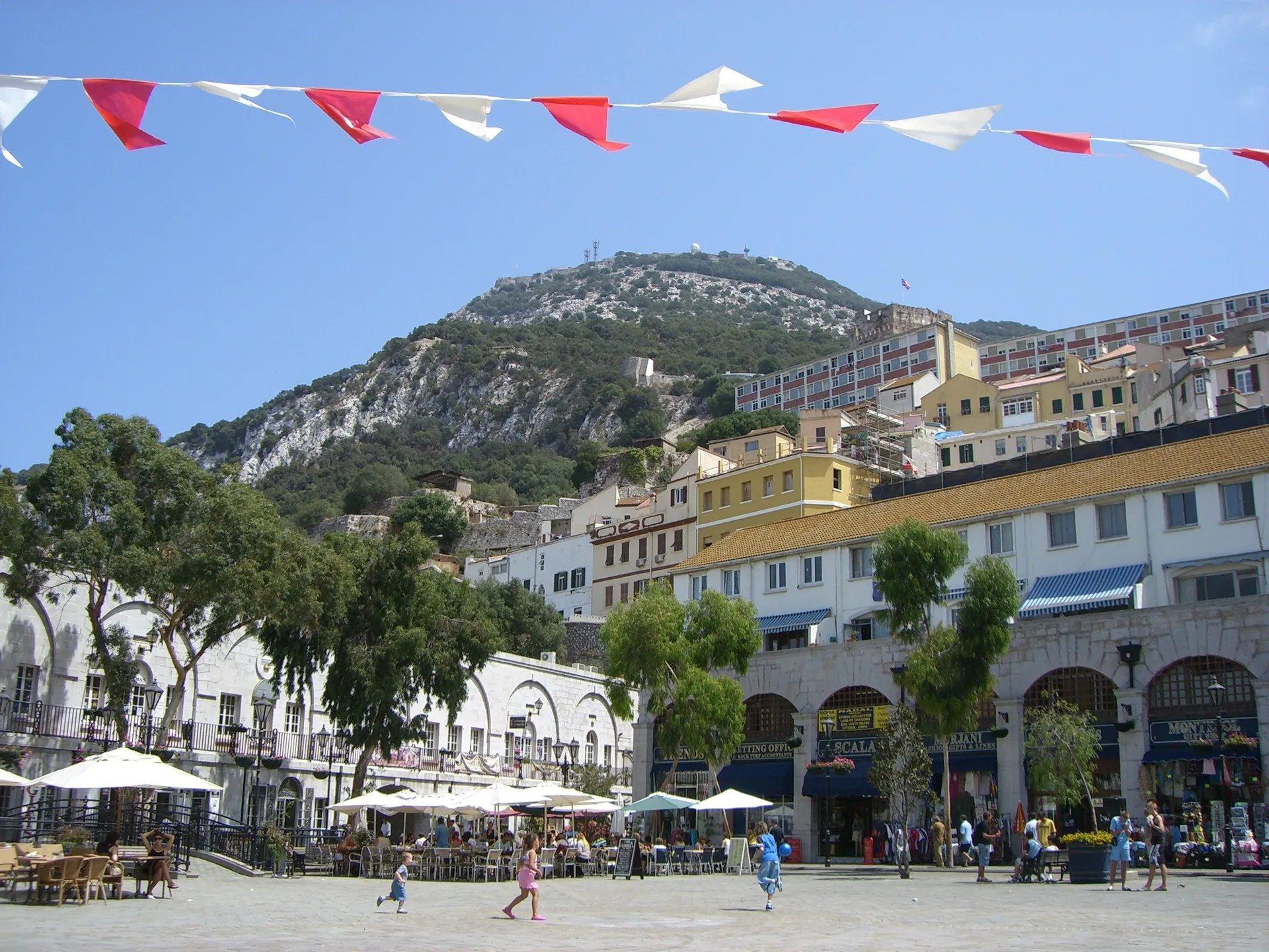
Photo: Clare Wilkinson (CC BY 2.0)
01
Grand Casemates Square
A parade ground, then a car park, now the town's front room.
The barracks that give the square its name were finished in 1817, on ground cleared after the Great Siege of 1779 to 1783 so the garrison had an esplanade for parades and, until 1864, public hangings. Half of it was a car park into the 1990s. The refurbishment made the square you see: the arches hold bars and restaurants, and National Day fills it.
From the last stop
Start here. It is the north end of Main Street.
Photo: gibraltarinfo.gi (Used with permission)
02
Main Street
A mile of British high street in the Mediterranean.
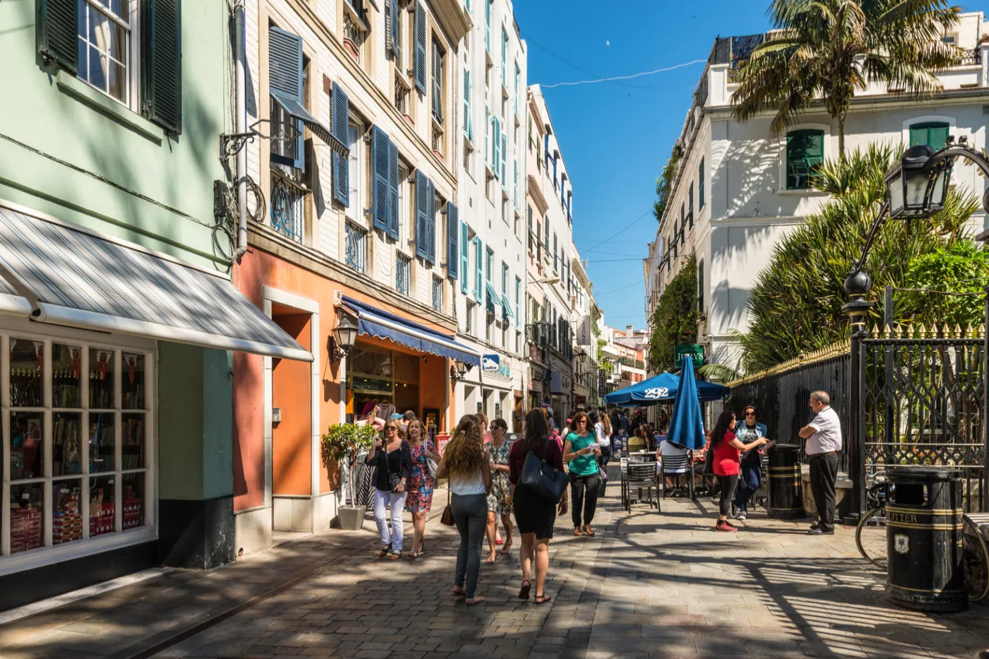
Pedestrianised end to end, with the Convent, the Cathedral of St Mary the Crowned and the Anglican cathedral among the shops. On Sundays it shuts almost entirely. Red pillar boxes, Genoese shutters and Spanish balconies in one street are the town's whole history; look up, not in.
From the last stop
Straight out of the square and keep going south.
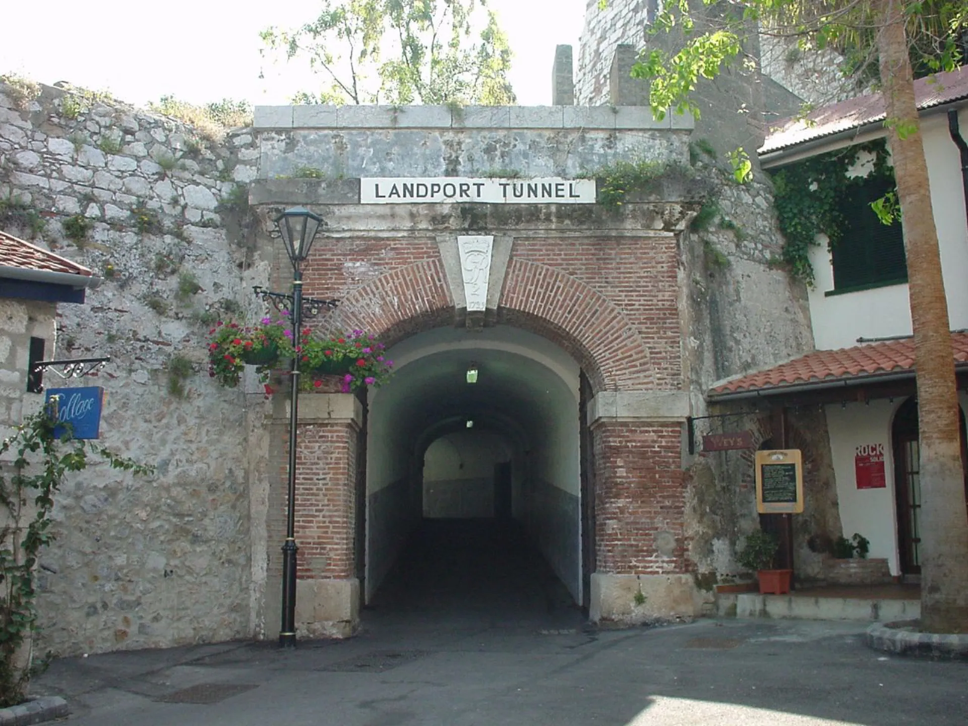
Photo: James Cridland (CC BY 2.0)
03
Landport Gate and tunnel
For three hundred years, the only way in by land.
The gate at the north end was the single landward entrance to the fortress until the nineteenth century, reached over a drawbridge whose windlass is still in the wall. Walk through the tunnel and you come out where the glacis and the flooded inundation kept every army since the Moors at a distance.
From the last stop
Back to Casemates, then the tunnel on its north side. Five minutes.
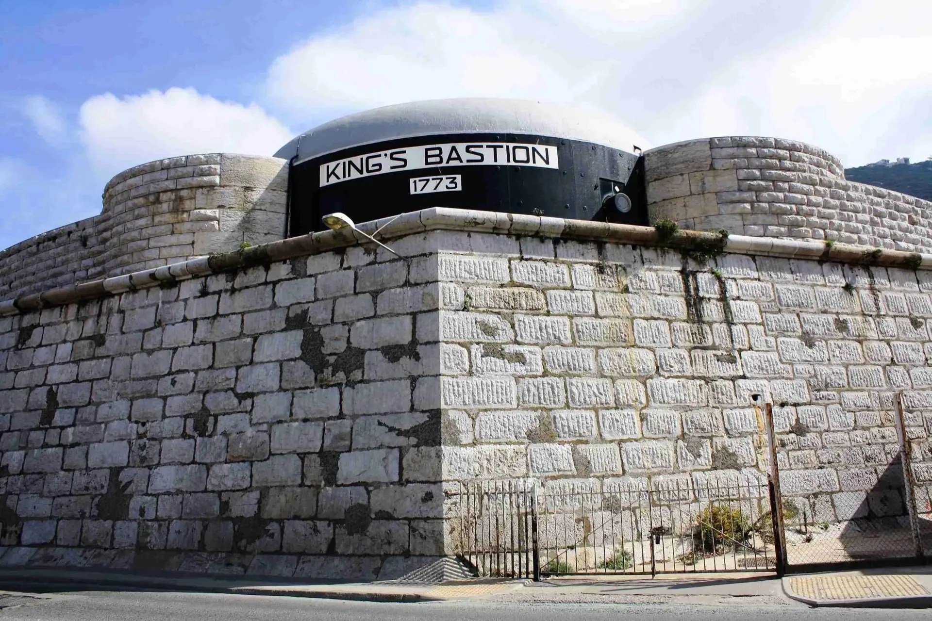
Photo: Visit Gibraltar (Used with permission of the Gibraltar Tourist Board)
04
Line Wall and King's Bastion
The sea wall the town grew behind.
The Line Wall runs south from Casemates along what was once the shoreline. King's Bastion, part way along, was built in 1773 and was the key to the Great Siege defence; today it is a leisure centre, which is a very Gibraltar thing to do with a fortress. Stretches of the ramparts are open and free to walk, and the harbour reclaimed the sea in front of them.
From the last stop
Down Line Wall Road from Casemates. Ten minutes to King's Bastion.
Photograph to come
05
The Upper Town lanes
One street back, and the town turns quiet.
Above Main Street the lanes climb in steps towards the Moorish Castle: painted shutters, washing lines, cats, and almost nobody. Castle Steps and the streets around Castle Road are the quickest way to lose the crowd and the best way to see how people actually live here.
From the last stop
Any of the stepped lanes off the east side of Main Street. Steep.
Before you go
Sunday is not the day for this walk.
Most of Main Street closes on Sundays, along with the museum and the cathedrals' visitor hours. The square and the walls do not close, but the point of the walk is the street, so pick another day if you can.
The Gibraltar National Museum on Bomb House Lane, off Main Street, is the one paid stop worth adding: the Moorish baths in its basement are among the best preserved in Europe. Things to do →
What we read
- Grand Casemates Square: the 1817 barracks, the esplanade, the last hanging, the 1990s refurbishment · Wikipedia
- Landport Gate · Wikipedia
- King's Bastion, 1773 · Wikipedia
- Gibraltar National Museum · Gibraltar National Museum
Spotted an error? We check every fact we can and date what we check, but hours, prices and owners change. If something here is wrong, tell us and we will fix it.